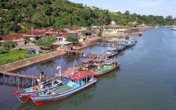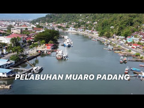
Muara Padang Port is situated in Padang, the capital city of West Sumatra province in Indonesia. This strategic port lies along the western coast of Sumatra Island, facing the Indian Ocean. Its geographical coordinates are approximately 0.9576° S latitude and 100.3608° E longitude.
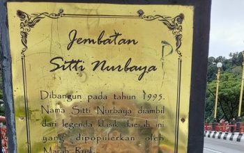
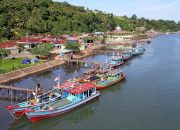
The port is positioned near the mouth of the Batang Arau River, which flows through the city of Padang before emptying into the Indian Ocean. This location provides natural advantages for maritime activities, offering access to both riverine and oceanic routes. The proximity to the Indian Ocean makes it a critical point for international maritime trade and logistics.
Muara Padang Port serves as a key economic hub for the region, facilitating the export of various commodities, including agricultural products, minerals, and other goods produced in West Sumatra. Additionally, the port supports local fisheries and acts as a gateway for passenger transport to and from the Mentawai Islands and other destinations.
Its location in Padang, a city known for its vibrant culture and historical significance, further enhances the port’s importance. The city’s infrastructure, including road and rail networks, complements the port’s operations, making it a vital link in the supply chain for the region.